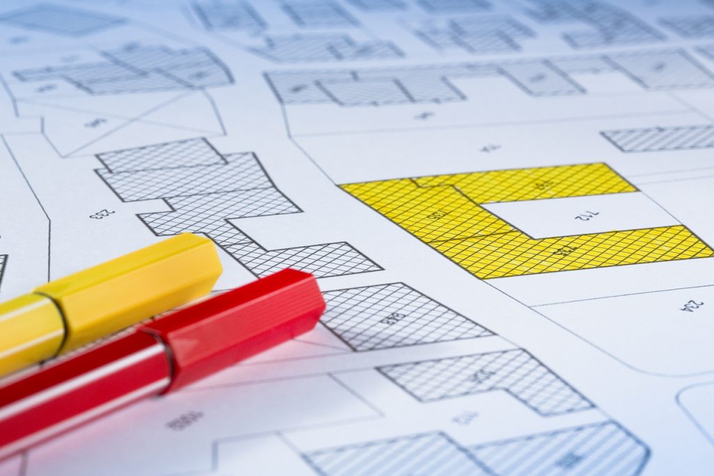
A Feature & Level Survey — also called a Topographic Survey or Site Analysis Survey — records the existing features, contours, and ground levels of your property. Councils and architects request this survey when preparing planning permit applications, new builds, or major renovations
At South East Land Surveyor, we provide council-ready Feature & Level Surveys across Melbourne’s South-Eastern Suburbs and the Mornington Peninsula. Our surveys are detailed, accurate, and delivered in PDF and CAD (DWG/DXF) formats so your architect, builder, or town planner can use them immediately.
A Feature & Level Survey provides a detailed snapshot of your property, recording both existing features and the natural ground levels. These surveys typically include:
fences, buildings, trees, driveways, crossovers, services, and easements.
showing slope, contours, and drainage patterns across the site.
tied to the Australian Height Datum when required by council, ensuring your plans align with planning and engineering standards.
Feature & Level Surveys give architects, builders, and councils the accurate site data they need to assess designs, planning applications, and compliance.


essential for council lodgement when building a new home, adding an extension, or developing units.
architects rely on them to design accurately to scale.
townhouse projects, subdivisions, and multi-lot sites.
showing trees, easements, services, and structures for ResCode compliance.
determining levels for stormwater or flood overlays.
We review your project needs and council requirements.
Our surveyors collect detailed levels, contours, and features using precision instruments.
Levels are tied to the Australian Height Datum (AHD) if required.
We prepare a clear plan showing features, spot levels, and contours.
You receive plans in PDF and CAD formats, ready for your architect, builder, or town planner.


Ensures your planning application won’t be delayed by missing data.
Provides your architect with precise information to design confidently.
Highlights constraints (trees, easements, slopes) early in design.
Saves time and cost by preventing redesigns or rejected applications.
Provides evidence of site conditions for council or neighbour discussions.
“Our architect asked for a feature and level survey, and title re-estab for our renovation in Cheltenham. The team came out to site and were very considerate, and turned it around quickly, and the plans were accepted by council with no issues.”
“Very professional service. We needed a feature & level survey for a new extension. Which was done affordably and provided to our architect quickly.”
“They helped manage our three-lot subdivision in Mornington, and spent the time explaining the process and what was required for the development. Which was very handy.”
“We needed a survey for the plans for a new commercial build in Hastings. The guys came out quickly and provided the plans to our design team within a week of the survey, will use them again.”
The cost of a Feature & Level Survey depends on:
Property size and shape.
Level of detail required by council.
Whether AHD connection or flood level information is required.
Site access and complexity.
Most residential Feature & Level Surveys in Melbourne’s South-East range from $1,200 – $2,000. We provide fixed written quotes upfront so you know exactly what to expect.

Our surveys include boundaries as shown on title, visible features such as fences, buildings, trees, and services, plus ground levels, spot heights, and contours. Where required, levels are tied to the AHD (Australian Height Datum).
Yes. Councils across Victoria almost always require a Feature & Level (site analysis) survey when lodging a planning permit for new builds, extensions, or unit developments.
Most Feature & Level Surveys are delivered within 5–10 business days. For urgent projects, we can often accommodate faster turnaround.
Yes. We prepare surveys to council standards and provide both PDF and CAD files, ensuring seamless use for architects, designers, and councils.

We provide Feature & Level Surveys across Melbourne’s South-Eastern Suburbs and the Mornington Peninsula, including:
surveys prepared to meet Victorian planning standards.
tied to Australian Height Datum when required.
keep your application on schedule.
transparent pricing with no hidden extras.
proven results across the South-East and Mornington Peninsula.

Need a Feature & Level Survey in Melbourne’s South-East or Mornington Peninsula?
We’ll provide accurate, detailed plans your architect and council will accept the first time.